1
/
of
2
FOLD Vintage
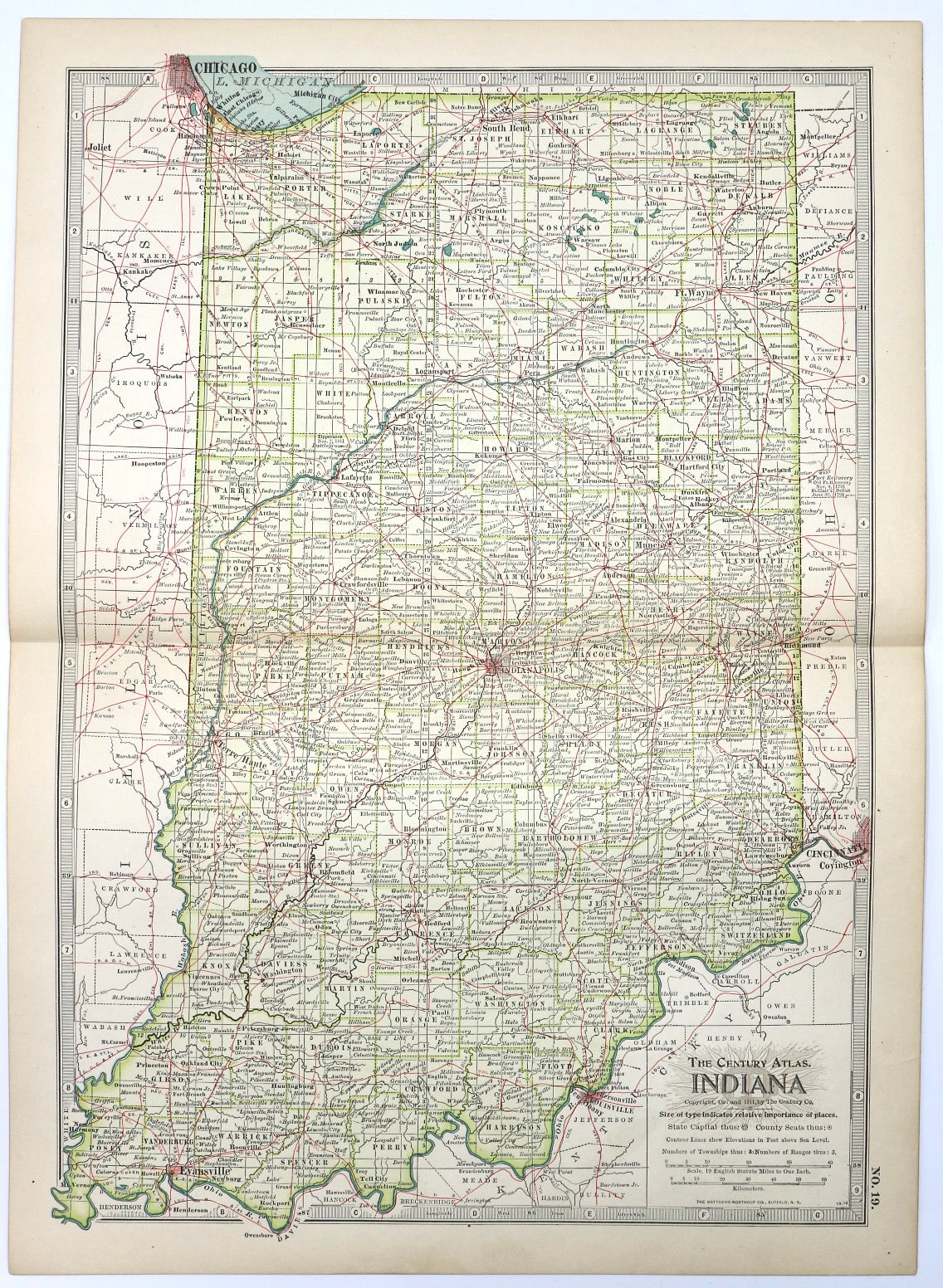
Indiana No.19
Indiana No.19
Regular price
$30.00 USD
Regular price
Sale price
$30.00 USD
Unit price
/
per
Shipping calculated at checkout.
Couldn't load pickup availability
By FOLD
This original antique map is over 100 YEARS OLD!!! Taken from The Century Atlas of the World published between 1897 and 1911. Comes in a plastic sleeve with cardboard backing.
Measures 11.75 x 16 inches.
Please note that due to everyone’s monitor displaying differently, the colors you see may vary.
Share